Ιonospheric tomography
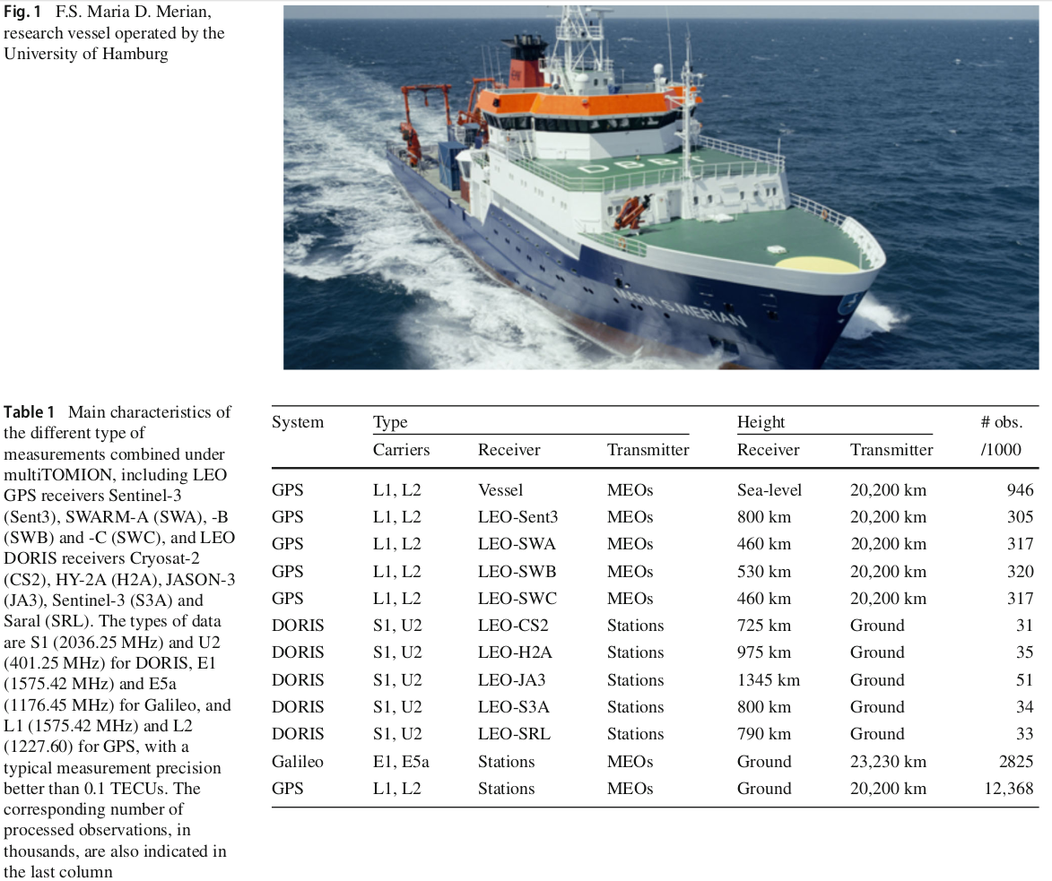
The combination of different types of data (GNSS, DORIS), and with different geometries (ground-based, upward / downward LEO-based, vessel-based) allows a further improvement of the global ionospheric tomography in general, and the VTEC GIM in particular (Hernández-Pajares et al. 2020).

Reference:
- Hernández-Pajares, M., H. Lyu, M. Garcia-Fernandez and R. Orus-Perez (2020), A new way of improving global ionospheric maps by ionospheric tomography: consistent combination of multi-GNSS and multi-space geodetic dualfrequency measurements gathered from vessel-, LEO- and ground-based receivers, Journal of Geodesy, 94:73, https://doi.org/10.1007/s00190-020-01397-1
